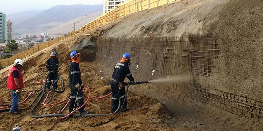
A site in Middle Ridge sits on deep, well-drained krasnozem. Compare that with a lot clinging to the edge of the Great Dividing Range escarpment in Rangeville, perched on weathered basalt colluvium. The difference in slope stability risk is measured in orders of magnitude. Toowoomba's position at 700 metres elevation creates a unique geotechnical frontier where urban growth pushes onto steep, reactive terrain. Our team integrates test pits to map the colluvial interface with precision. The material transition between residual basalt clay and underlying weathered rock demands rigorous assessment. Every analysis accounts for the city's perched water tables that respond dramatically to Queensland's summer rainfall. The red soil that defines the Garden City can mask serious stability challenges when saturation reaches a critical threshold.
Toowoomba's escarpment clays lose 60% of their effective cohesion when saturated — a shift that transforms stable slopes into active failures within a single wet season.
Standards used
AS 4678-2002: Earth-retaining structures (design loads, factors of safety), AS 1726-2017: Geotechnical site investigations (logging, sampling, classification), AS/NZS 1170.0:2002 & 1170.4:2007: Structural design actions — Earthquake actions in Australia, FHWA-NHI-05-094: Soil Slope and Landslide Stabilization (US reference, widely adopted), AS 3798-2007: Guidelines on earthworks for commercial and residential developments
FAQ
What makes Toowoomba's slopes different from other Queensland regions?
The Great Dividing Range escarpment creates a 700-metre elevation drop over short horizontal distances. The basalt cap overlying Gatton Sandstone forms a perched aquifer system. When summer rainfall saturates the upper clay profile, effective stress drops rapidly. This combination of steep geometry, layered geology and intense seasonal rainfall produces failure mechanisms that differ from coastal or inland plain slopes.
How much does a slope stability analysis cost in Toowoomba?
A comprehensive analysis typically ranges from AU$1,850 to AU$6,430 depending on the slope complexity, the number of cross-sections modelled, and whether transient seepage analysis is required. Sites with existing piezometer data and recent survey information fall at the lower end. Complex escarpment blocks needing UAV survey, subsurface investigation, and multi-scenario modelling fall at the upper end.
What investigation data do you need before starting the analysis?
We require a subsurface investigation that identifies the colluvial soil depth, the residual basalt clay profile, and the bedrock interface. Undisturbed samples for triaxial and direct shear testing are essential. Piezometer readings over at least one wet season provide the pore-pressure baseline. Topographic survey with 0.5-metre contour intervals or LiDAR data defines the slope geometry.
Which factor of safety is required for a residential site near the escarpment?
Per AS 4678-2002, permanent slopes require a minimum factor of safety of 1.5 under static conditions. Temporary works during construction can use 1.3. For sites within the escarpment influence zone, we often recommend 1.5 even for temporary cuts due to the sensitivity of the basalt clay to moisture changes. The pseudo-static seismic case uses a reduced FoS of 1.1 to 1.2.
Can you model the effect of a retaining wall on overall slope stability?
Yes, we incorporate retaining structures into the limit equilibrium model. The wall's geometry, foundation depth, and drainage provisions are included as internal boundary conditions. We evaluate both global stability (failure surface passing below the wall) and internal compound failures. This analysis often reveals that a wall alone is insufficient without slope drainage and benching.